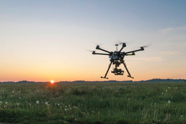
Volunteers sometimes spend months trudging through remote terrain to search for lost hikers or crime victims. But a new tool could soon pinpoint forensic evidence from the sky instead. By identifying how traces of blood and other human signs reflect light when found on various natural surfaces, the scientists say searchers will be able to quickly scour large areas for clues about missing persons—dead or alive—using images acquired by drones.
Special drone-mounted sensors can record wavelength intensity for the entire electromagnetic spectrum (rather than just the red, green and blue of a typical camera) in each pixel of an image. Geologists routinely use this technology to pinpoint mineral deposits. Mark Krekeler, a mineralogist at Miami University in Ohio, and his colleagues realized that the same approach, supported by the right spectral data library, could potentially detect forensic evidence.
To build their tool, the researchers measured how human-related features, including blood, sweaty clothing and skin tones, reflect different wavelengths of light. Previous studies have examined such reflective “signatures” to identify blood, “but the signature depends on the surface itself and may change over time,” Krekeler says. He and his team analyzed thousands of samples, such as bloodstains on different rock types, recording how they changed as the blood dried.
The researchers customized software that mixes the known reflective signatures of various surfaces to reproduce a target of interest. For example, rock and clothing signatures can be combined to seek a hiker lost in the mountains, or a blood signature can be mixed with those of clothing and sand to search for a wounded person in a desert.
The software estimates whether the target exists in any pixel in an image. It can distinguish between an animal and a human in dense forest, search a cityscape for evidence of a specific person in a blue cotton dress, or determine whether soil is stained by blood or diesel fuel, Krekeler says. His team was slated to present its work at the Geological Society of America’s meeting of the North-Central Section in April.
Wendy Calvin, a planetary scientist at the University of Nevada, Reno, who was not involved with the study, calls it “an interesting and novel use of spectral data—and the technique looks promising.” But she says it could be challenging to use from afar because of how much of a substance would likely be needed to show up in a pixel.
Within months, officials will be able to download and test the tool for themselves. Developing best-practice protocols for search teams could make such technology routine for investigations and forensics, Krekeler says. As drones and sensors become more widespread, he adds, they can transform investigations that are currently costly, labor-intensive or even impossible.
